02/10/2025
Wilayat of Dima Wa Al Taiyyin
Population
27262Government Schools
16Private Schools
8Number of Hospitals and Health Centres
4| Location | Phone Number | |
|---|---|---|
| Omani Women's Association in the Wilayat of Dima Wa Al Taiyyin | +96892237253 +96825560056 |
taieen.ne@hotmail.com |
| Office Name | Phone Number |
|---|---|
| Asdaf Quriyat Travel and Tourism | +96899217006 |
| Place Name | Location |
|---|---|
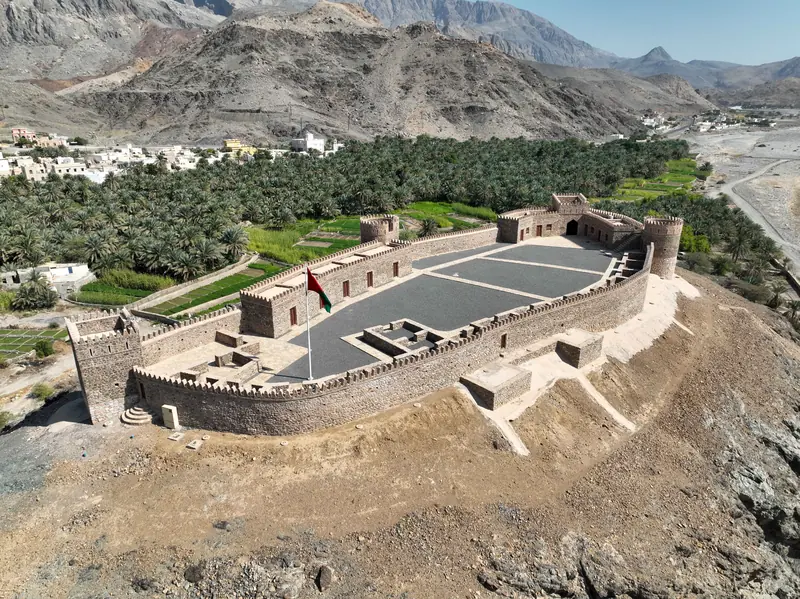
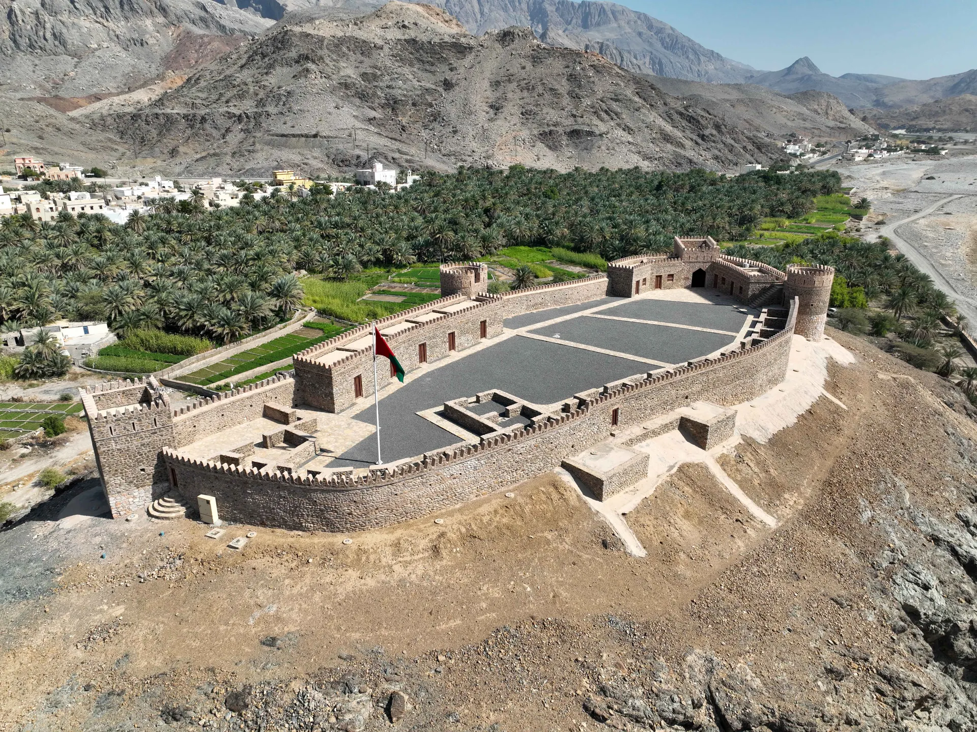
| Al Hammam Fort |
 View location on the map: Al Hammam Fort (opens in a new tab) |
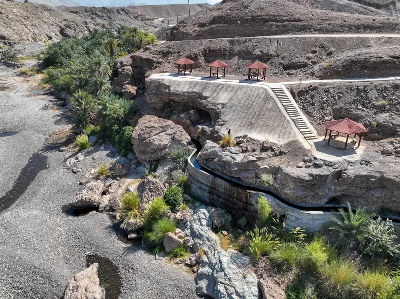
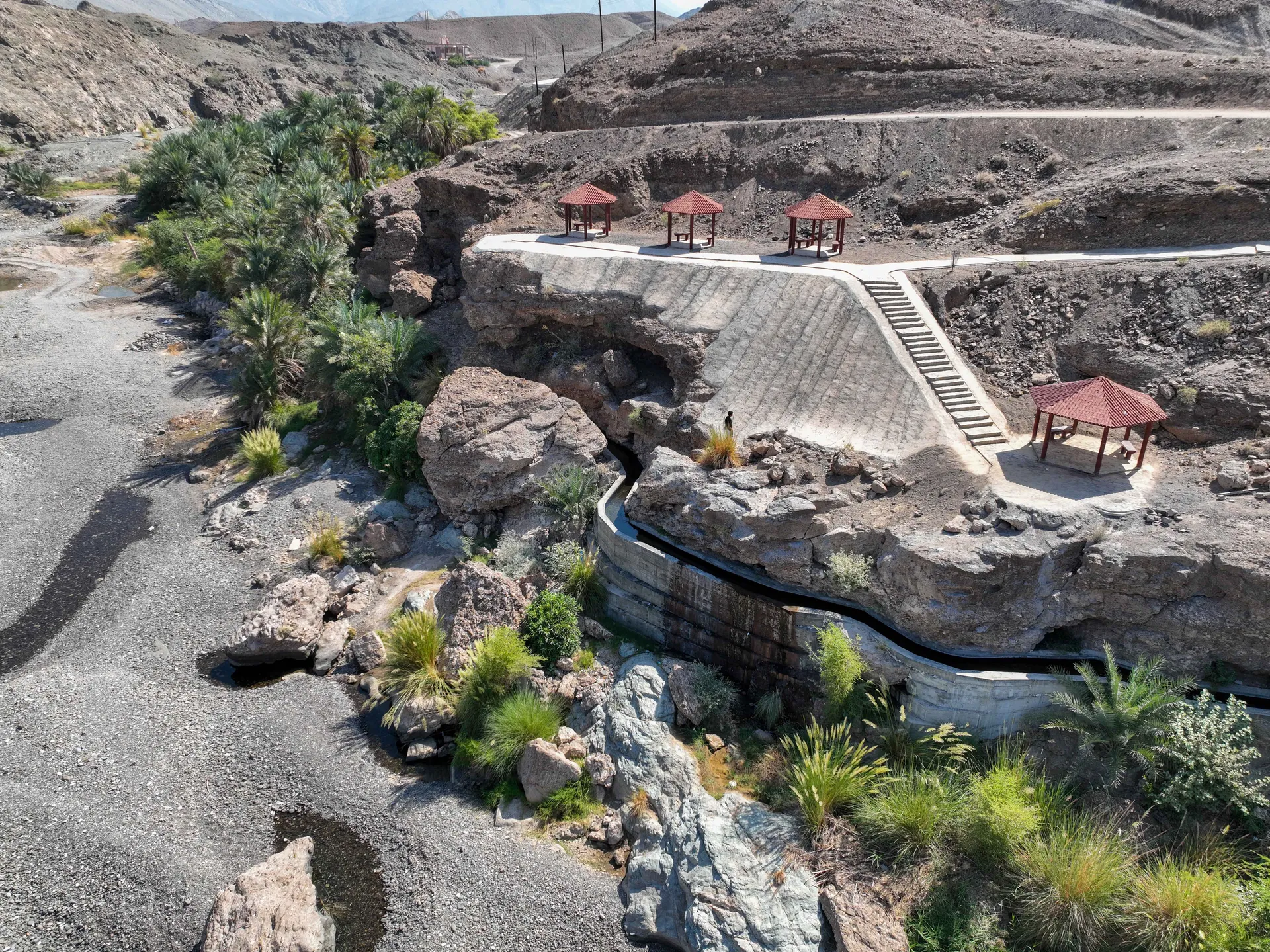
| Ain Qabat |
View location on the map: Ain Qabat (opens in a new tab)
|
| Ain Al Zam |
View location on the map: Ain Al Zam (opens in a new tab)
|
| Sumut Natural Park |
View location on the map: Sumut Natural Park (opens in a new tab)
|
| Wadi Hubab |
View location on the map: Wadi Hubab (opens in a new tab)
|
| Al Shakhrah Natural Park |
View location on the map: Al Shakhrah Natural Park (opens in a new tab)
|
| Al Ghubrah Natural Park |
View location on the map: Al Ghubrah Natural Park (opens in a new tab)
|